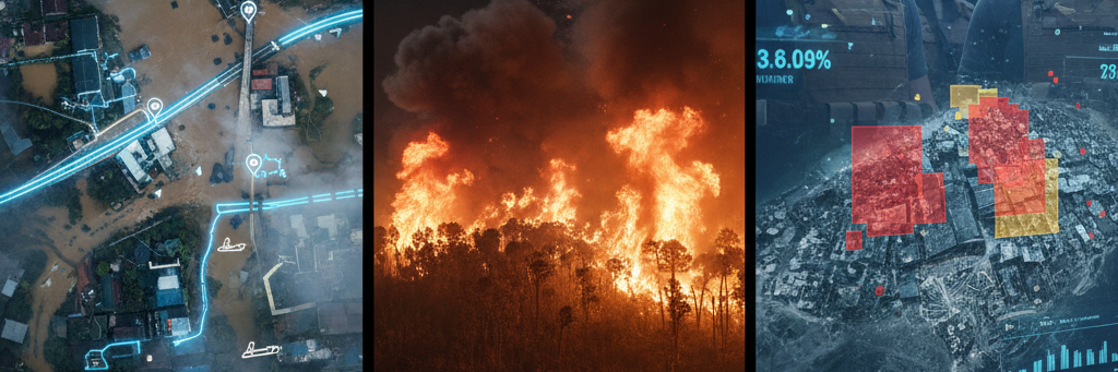
Disaster Monitoring and Response
Rapid Response Satellite Intelligence. When disaster strikes, information is the most valuable currency. We provide the imagery needed to coordinate relief and save lives.
- Response Capabilities:
- Flood Mapping: Identifying submerged infrastructure to plan safe evacuation routes.
- Wildfire Tracking: Using thermal sensors to pinpoint fire fronts through thick smoke.
- Impact Assessment: Post-disaster reporting to help NGOs and governments quantify damage.