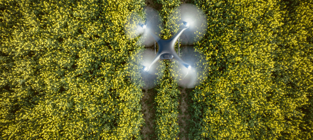
Remote sensing
We use satellite imagery and data analytics to monitor crop health, optimize irrigation & improve agricultural productivity.
We adopt a transformative approach to agricultural management in Ghana, leveraging advanced remote sensing technologies to optimize all aspects of farming (especially, rice and maize farming), from precision irrigation and nutrient management to early disease detection and yield prediction.

Our Solutions
- Advanced Remote Sensing Technologies: Leverage satellite and aerial insights to optimize rice and maize farming through:
- Precision irrigation.
- Nutrient management.
- Early disease detection.
- Yield prediction.
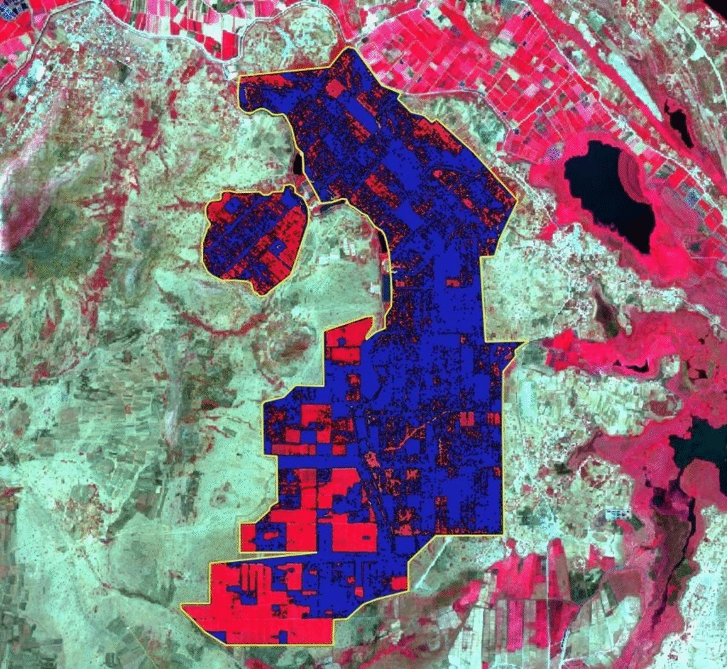
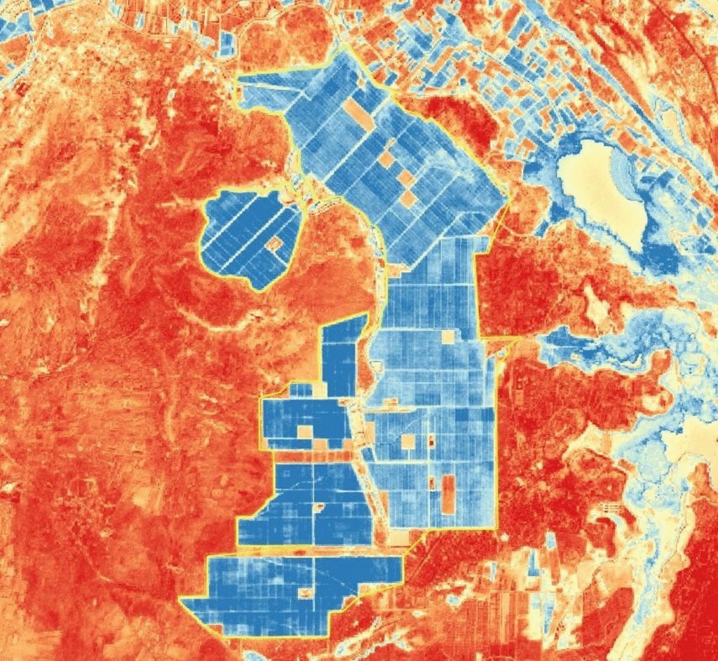
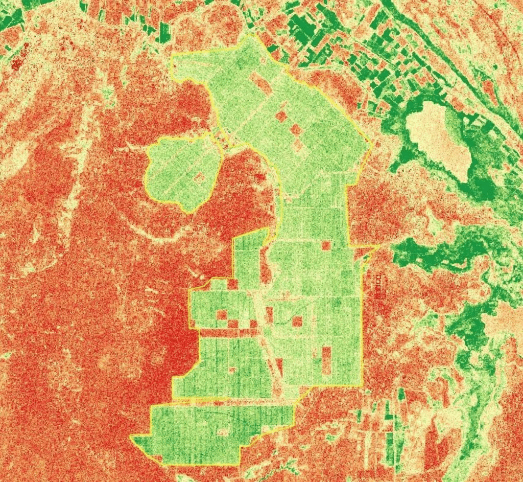
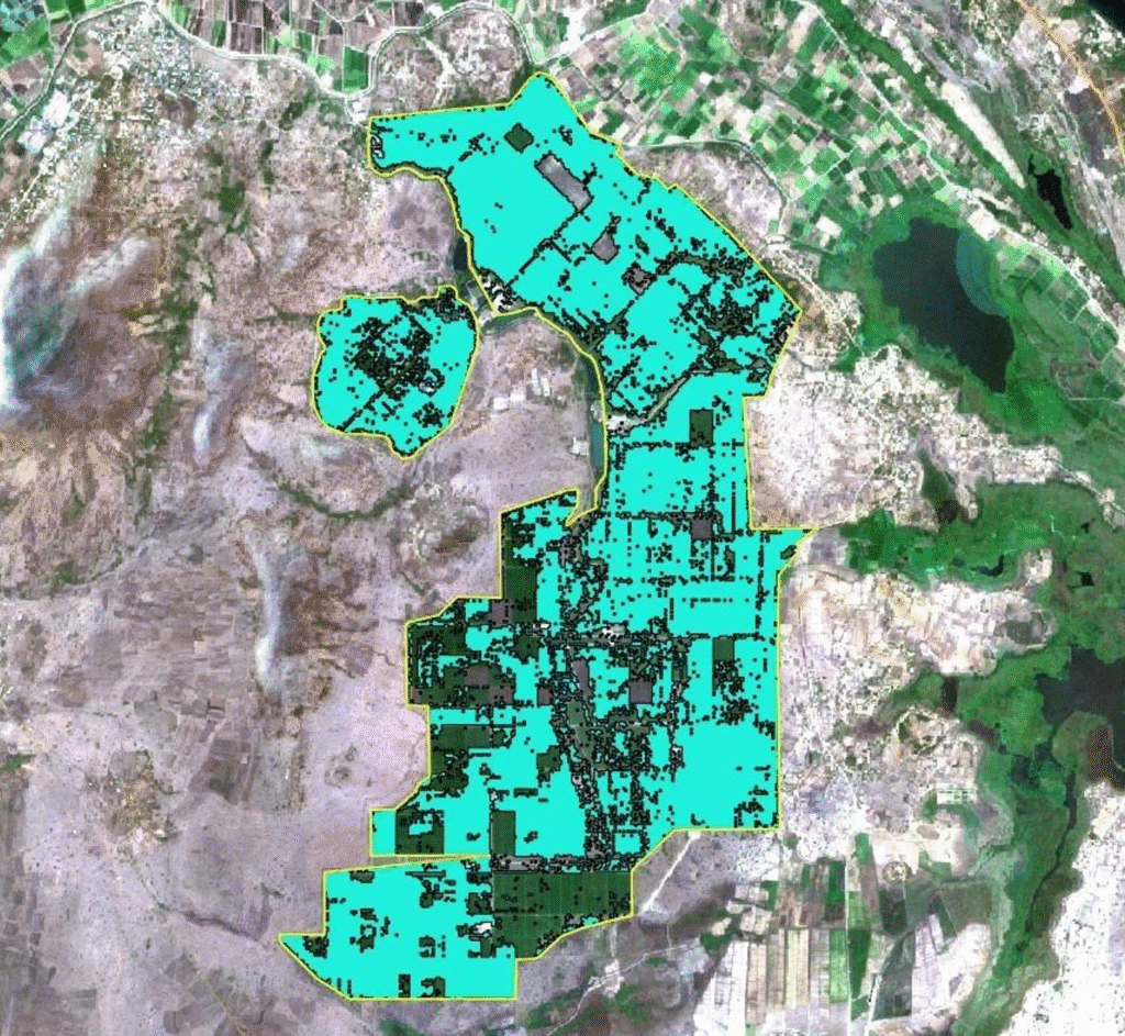
High-Resolution Insights for a Changing Planet. We leverage multispectral imagery to provide a bird’s-eye view of Earth’s most critical systems, from agriculture to urban sprawl.
- Specializations:
- Multispectral Analysis: Using Near-Infrared (NIR) and Short-Wave Infrared (SWIR) to see beyond the visible spectrum.
- Change Detection: Comparing historical imagery to identify new developments or environmental shifts.
- Land Cover Classification: Automated mapping of vegetation, water bodies and infrastructure.